The term “high-resolution site characterization” has recently become a buzz phrase in the world of site characterization, clean up, and remediation. But what is it? The technical definition is “the use of scale-appropriate measurement and sample density to define contaminant distribution and the physical environment they exist in, with greater certainty, supporting faster and more effective cleanup.”
But what does that mean for your site?
Let’s say you own a former gas station. During a Phase II property transaction, soil impact and some amount of free phase petroleum (LNAPL) were found, spurring additional investigation under the state’s petroleum storage tank cleanup program.
In this scenario, it would be common for an environmental consultant to visit the site, drill 4-5 soil borings, describe the soil in generic terms (“silty clay with chert”), collect samples from prescribed depths (say, 0-5 feet, 5-10 feet, 10-15 feet), and install a groundwater monitoring well with a long screened interval at every boring location. If impact was not delineated, the consultant would have to come back out at a later date to collect more samples. This can become a long, iterative process, requiring multiple visits to the site, often 6 months to a year apart, trying to delineate soil, groundwater, and free product/LNAPL in the subsurface to required target levels. These multiple rounds of work add time and cost to a project.
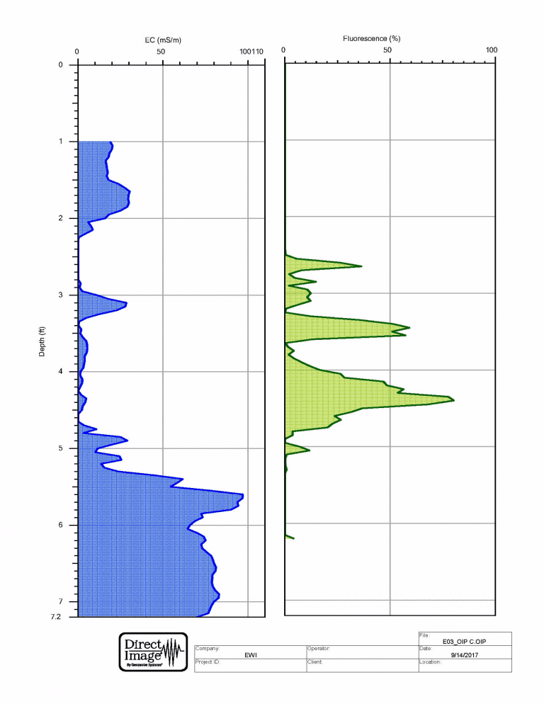
High-resolution site characterization (HRSC) uses available technologies to gather more data at the beginning of an investigation, potentially reducing the amount of time it takes to get to No Further Action (NFA) status. For example, soil samples may have traditionally been collected at set intervals, but with the improvement of photoionization detector (PID) technology, most sampling approaches evolved to the current practice of collecting samples at depths that exhibit the highest impact based on PID results. But even with good PID data, information can be missed if the choice of boring locations is essentially random or at pre-set “step out” intervals.
One example of a HRSC tool that often isn’t thought of in this way is the use of a ground-penetrating radar (GPR). The GPR unit can be used to find features such as buried utilities, conduits, product lines, or former tank pits that might otherwise be missed. Use of a GPR at the beginning of a project both allows work to be completed more safely (decreasing the risk of hitting a utility with a drill rig) and allows a consultant to closely target these features for collection of soil samples, as these preferential pathways are often conduits for free product and groundwater impact to migrate across a site.
Another tool often overlooked is the use of a barometric pressure transducer to record water levels at a site over an extended period of time. During a typical investigation, wells might be manually gauged for static water levels 5-10 times over a period of several years. A pressure transducer, alternately, can collect data as frequently as every second, or as little as once a day, for a period of 6 months or so. This provides a much clearer picture of what the groundwater at the site is doing between site visits, at a relatively low cost. For sites that are extremely far from a consultant’s office, remotely accessible transducers can be deployed, which send data that can be viewed on the web. Either unit can also be paired with a rain gauge to see how precipitation relates to changes in water levels. This information can help guide when to complete groundwater monitoring events or LNAPL recovery.
This is important, given that each monitoring well represents a long-term monitoring and maintenance liability. Monitoring wells, once installed, generally must remain in place until the site is granted an NFA status, which can be anywhere from 3-20 years (depending on the amount of impact, risks present, and complexity of the site). The long-term cost of one well is estimated on average at $5,000 when you consider installation, sampling 4-8 times, lab analytical costs, repairs as warranted, and abandonment at the end of a project. This is roughly the same as one day of operation of an OIP in the field. Ergo, if the use of high-resolution site characterization such as OIP at the beginning of the project reduces the number of wells needed by even one, it has already paid for itself.
More and more often, these technologies are being approved for use at sites by regulators and state trust fund administrators, who see the value in gathering better data up front to potentially shorten the lifetime of a cleanup project, as well as the potential for cost savings.
To learn more about EWI’s high-resolution site characterization services, please give us a call at 417-890-9500 or contact us online.
PFAS are everywhere, but what the heck are they and what do you need to…
No Further Action Status for one of Missouri's Oldest Petroleum Releases! Back in…
When vapor-forming chemicals seep from the ground, vapor intrusion becomes a problem. In vapor form,…
The Hazardous Waste Operations and Emergency Response Standard (HAZWOPER) is a set of OSHA-enforced standards…
By some estimates, there are more than 49 million acres of contaminated soil—i.e., soil containing…
According to the EPA, there are currently 540,700 active underground storage tanks in the United…